Fay Canyon Jan 15
A hike to the very end of Fay Canyon, with a side visit to the July 2014 plane crash site..
1
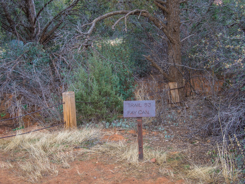
FAY CANYON
2
3
The original Westerners metal sign
4
5
6
7
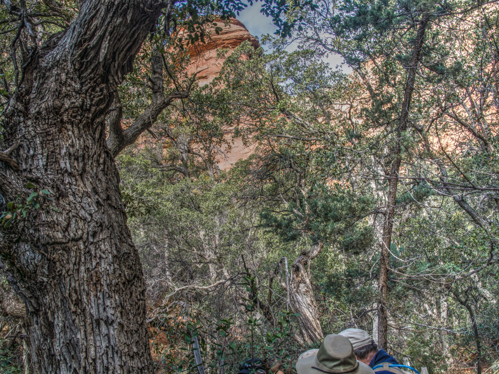
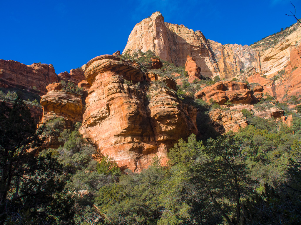
An arch up on the wall of the canyon
8
9
10
11
12
The Goblet
13
14
15
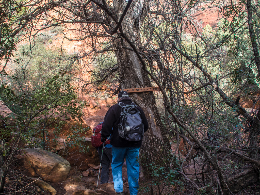
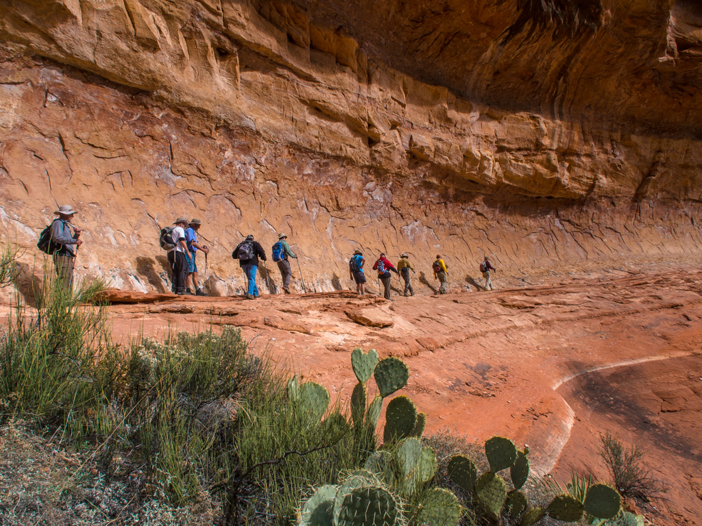
The end of the public trail. At this pont we have three trail options. We took two today.
16
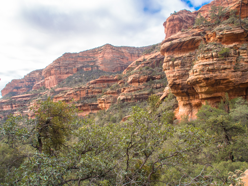
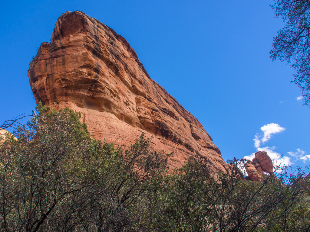
Passing Ship's Prow, site of the 2003 rockfall
17
18
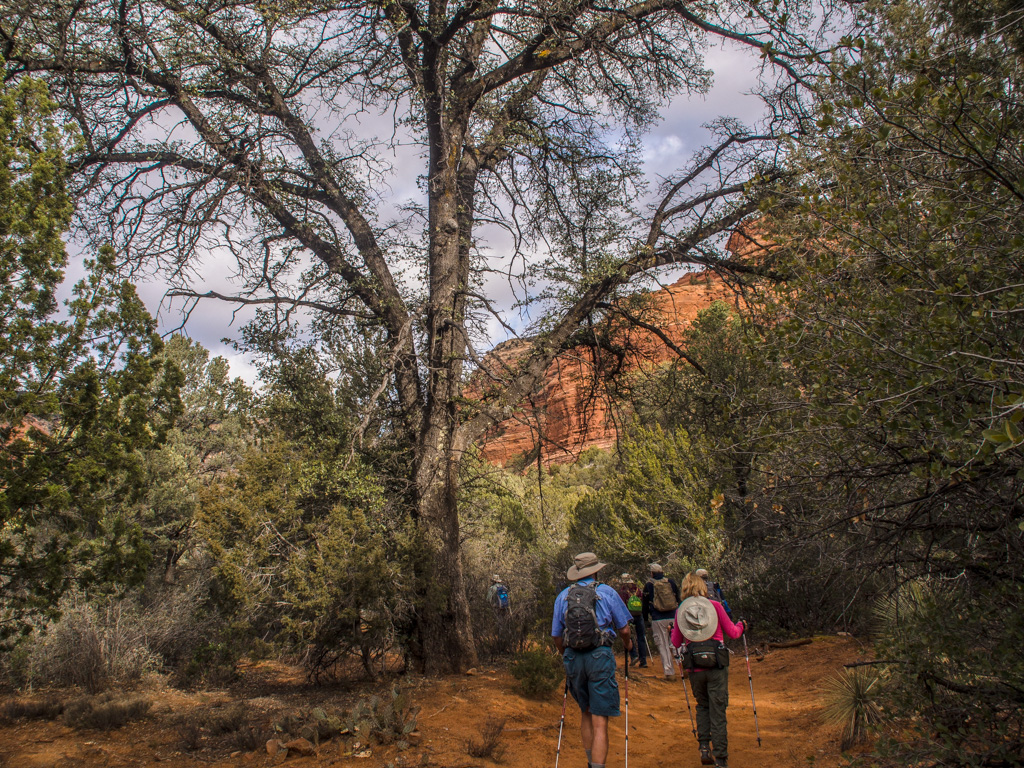
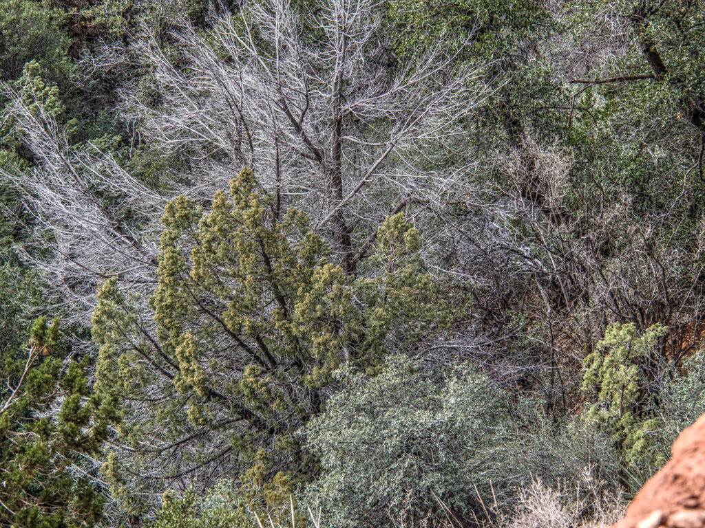
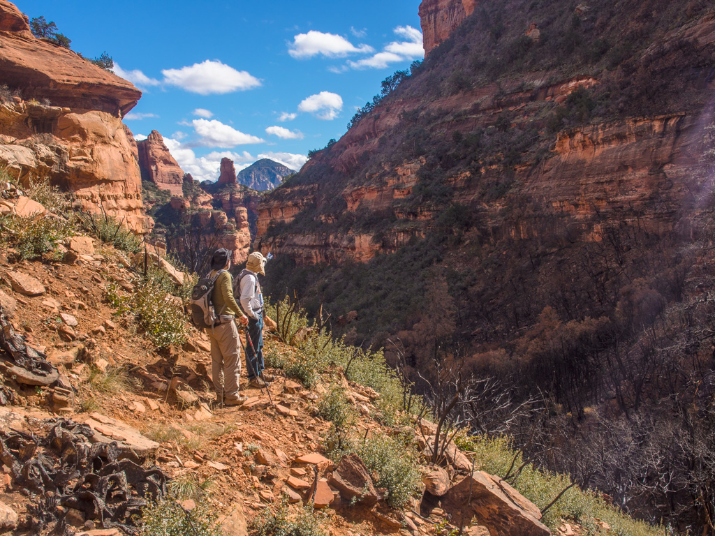
We head straight back into the canyon
19
20
21
22
Clouds are moving in...
23
24
25
26
27
28
29
Looking back into the bottom of the canyon
30
The traul degenerates into a wash and rimrock scramble
31
32
33
34
The end of the canyon is now in sight
35
A hedgehog cactus
36
37
38
39
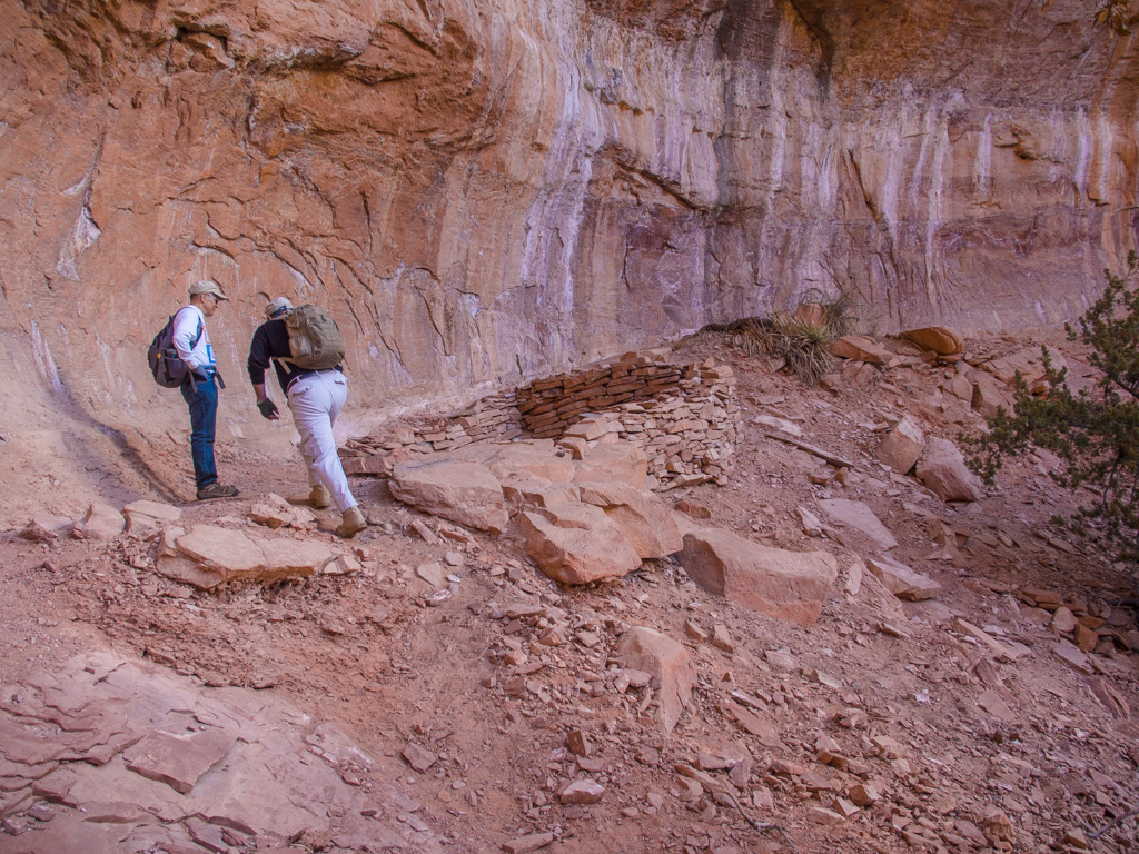
The first ruin, and time for a break
40
41
There's a lot of desert varnish (the vertical stripes) on these walls.
42
43
We're not sure about the authenticity of these artifacts
44
45
46
47
48
49
50
51
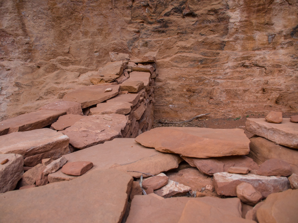
The second ruin, to one side of the canyon
52
53
54
55
56
Spanish bayonets
57
58
59
60
61
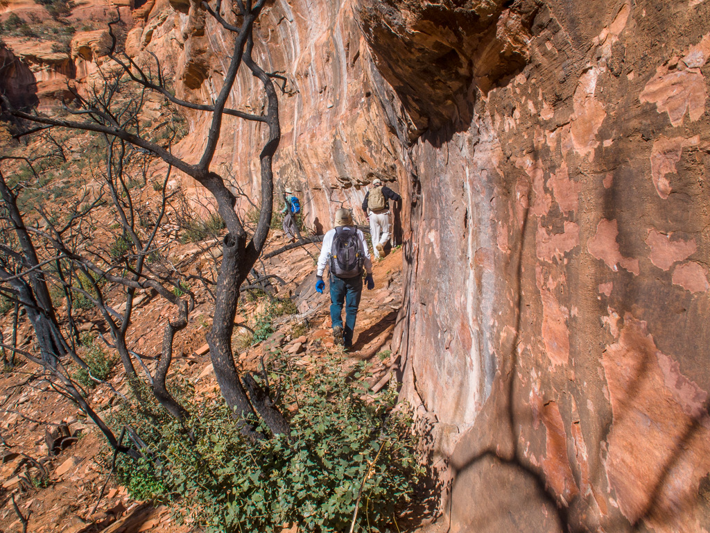
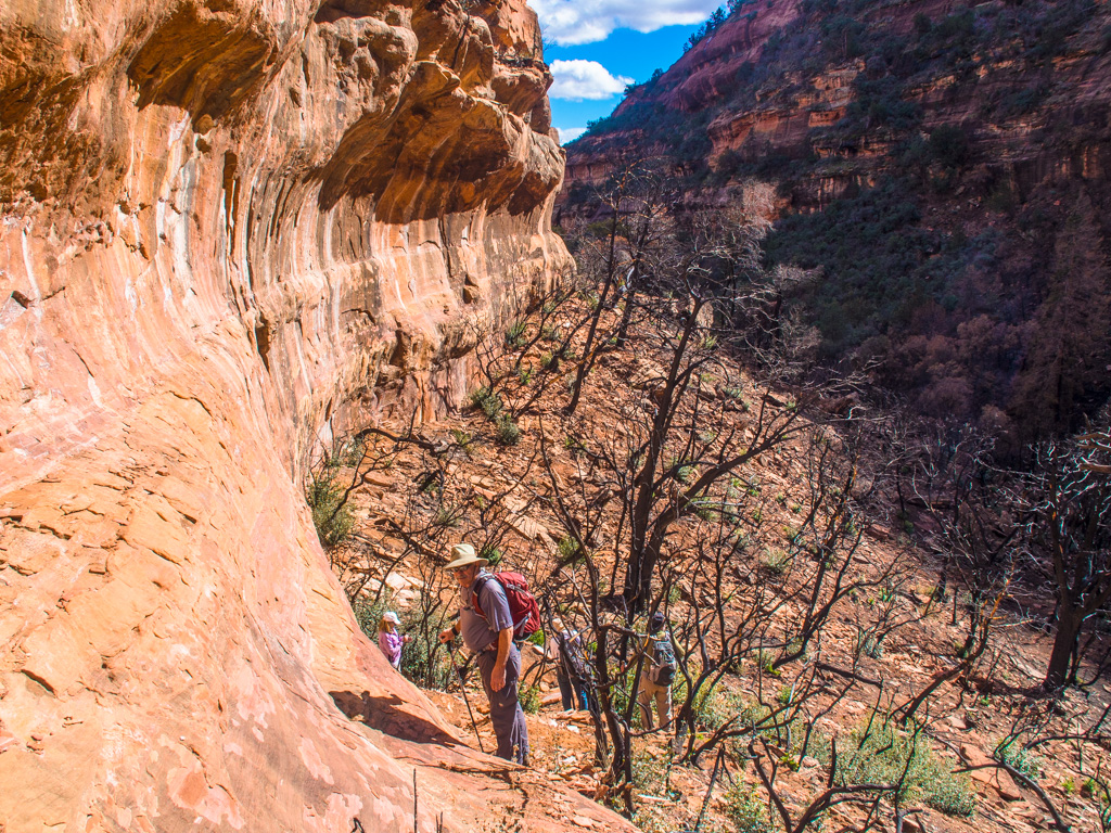
Now we climb the Prow, which has developed precarious cracks since the 2003 rockfall.
62
Great views to the Courthouse and Bell Rock
63
Here they are, close up
64
65
We press on
66
67
68
69
We find an intersting ledge for lunch
70
71
72
73
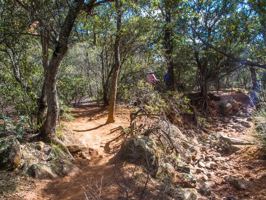
With a view
74
75
76
77
78
79
80
After lunch, we press on into the mormally impenerable plane crash site
81
But now, we find a 25-acre burned-out area from the plane crash
82
83
84
85
86
This was a magnificent hedgehog before the fire
87
88
89
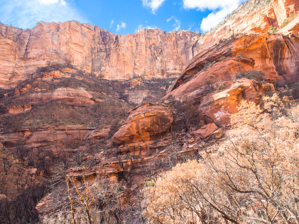
The end of the canyon is a 2000-foot wall that prevented the pilot from gaining enough altitude
90
91
The crash itself probably occured in the middle of the canyon, off the right
92
93
94
95
96
Back at the Prow...
97
And down onto the public trail
98
A new view of the Goblet
99
100